
Monitoring the Ocean from in-situ observations implies for the CORIOLIS infrastructure four working lines :
1 - Coordinate
CORIOLIS has set up an infrastructure for the coordination of in-situ data acquisition, validation and distribution, in real time and delayed mode over the world ocean. Conducted by seven French agencies, CORIOLIS integrates national activities related to in-situ measurements for operational oceanography and climate research.
2 - Measure
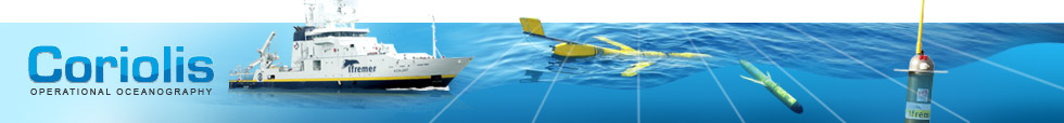
Coriolis contributes to the observation of the global ocean with the instruments it deploys. It coordinates the French contribution to international programs : Argo (the global array of profiling floats), Pirata (the tropical mooring array in the Atlantic), the global surface drifter program, the acquisition of underway data from research and ship of opportunity vessels, and the extension to coastal operational systems.
3 - Manage and Distribute
The CORIOLIS data centre collects data from the main global ocean observing networks as well as from agencies operating observing systems in Europe. Data are obtained from a variety of platforms: floats, buoys, research vessels, ships of opportunity, drifters, gliders, sea mammals… The quality of these data is controlled within 24 hours using internationally agreed procedures and distributed to the main ocean forecasting centres in France (Mercator-Ocean, Soap/Shom) and Europe (COPERNICUS Marine Core Service), and to the international community. Yearly high quality products are provided to the research community.
4 - Assess the product quality
One of the aims of the R&D Coriolis activities is to scientifically assess and improve the quality of the products. A scientific team is working closely with the Coriolis data centre and the user community to improve validation methods and derive value added products such as atlases or gridded fields.